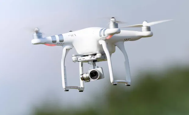
Leading a consortium of world-class experts, we have developed a proof of concept for a hybrid positioning algorithm, combining 5G signals with GNSS services to achieve increased positioning resilience and integrity. The project focused on a real-world drone flight test, as well as developing the use case and requirements definition for a future hybrid positioning system.
“GNSS interference is listed as the root cause of 10% of drone crashes within our UK databases.” - Leading Drone information provider
The project culminated with flight tests, successfully achieving the following objectives:
To capture live GNSS and 5G signals in a representative environment for drones flying in urban/suburban areas, enabling the benefits of fusing GNSS and 5G signals for navigation to be demonstrated (the Proof-of-Concept objective).
To understand the diversity of transmitters and the relative strength of 5G signals received at different drone altitudes and on different operating bands (the Discovery objective).
Download to read the full factsheet and learn how we successfully developed a hybrid positioning algorithm that fuses 5G and GNSS ranging measurements, as well as components for a Support Data Service that would enable wider adoption of this technology.