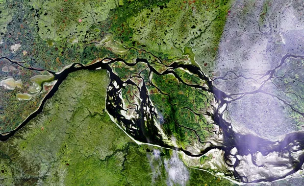
From system engineering and mission control software to payload data processing and cloud-based platforms, CGI covers the full spectrum of supporting large volumes of geospatial data needs.

We offer unparalleled end-to-end capabilities for Earth observation satellites and geospatial data. With a rich history of supporting Earth observation since 1974, we empower organisations like the European Space Agency (ESA) and EUMETSAT to operate advanced satellites such as Meteosat and MetOp. Our cutting-edge solutions process and disseminate data from ESA Earth Explorer satellites, integrate with NASA missions, and support the UK Met Office in weather forecasting. From system engineering and mission control software to payload data processing and cloud-based platforms, CGI covers the full spectrum of geospatial data needs.

Explore how CGI can elevate your satellite communications and geospatial data operations.