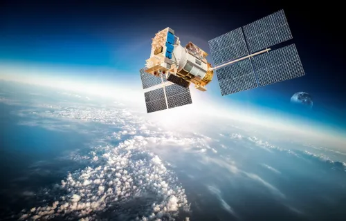
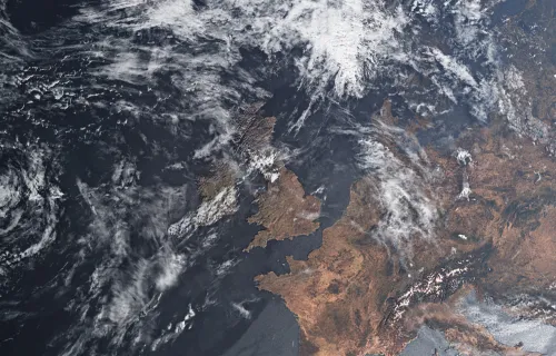
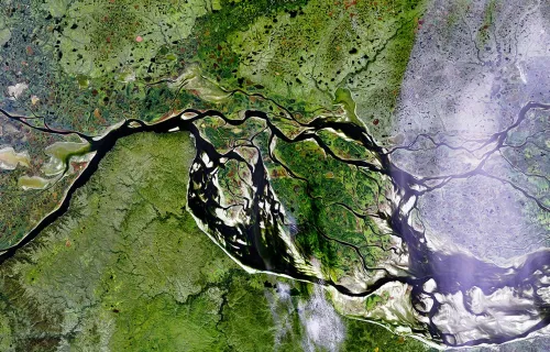
The EO (Earth Observation) world is complex. Satellite data is used by different people for many purposes. As well as helping us monitor our planet’s environment and weather systems, EO can also be used for decision making and to locate resources. For example, a scientist may use it for applied research, a commander to allocate military resources, a meterologist to forecast weather, or a prospector to look for oil.
One of the main EO constellations in Europe is called Copernicus (formerly known as GMES or Global Monitoring for Environment and Security). It is a joint programme between the European Space Agency (ESA) and the European Commission (EC) , which is aimed at linking the data with the information providers, and the users so they understand each others’ shared needs. This will allow environmental and security related information to be available to the people who need it through enhanced or new services. It uses existing assets (satellites, sensors and ground facilities) and these are being supplemented by five new satellites called Sentinels.
The Sentinels are being designed and built now, but that’s only part of the EO challenge. There’s also the entire systems architecture underpinning it to be created, and a consistent set of data formats and interfaces to be agreed that will work for its diverse set of users.
Copernicus (formerly GMES)
We’re defining ESA’s standards for EO data calibration, and implementing the infrastructure that will manage calibration of EO data from ESA and other satellites.ESA chose us to define the entire data security policy and implementation plan for GMES (we’re the top provider of secure data systems to government in UK and Netherlands). We looked at everything from the security of the sensors on the satellites, to how the information flows to the end user.
Advanced Product Generation
For over 25 years, since the very first European weather satellites, Europe’s meteorologists have relied on CGI software to extract weather information from satellite images. Building on this experience we delivered the image processing systems for Japan’s weather satellite series (MTSAT).
Ground Systems for EO Data Processing
We are one of the leading providers of operational support for ESA’s EO data processing activities, leading the verification and validation of their systems and providing support to their daily operations. We are now leading the implementation of ESA’s ground system for the Landsat Data Continuity Mission (LDCM).
Earth Imagery and Geographic Information System (GIS)
We don’t just implement GIS technology for space. We also do it for telecommunications (to help network planning), utilities (for asset management), and also for central and local government, transport, insurance and defence. We use GIS technologies to combine EO imagery with environmental, socio-economic, tactical and topographic data. We are involved in EO applications in tourism, hydrographical charting, Earth systems science, civil and military security and environmental risk management.


