Partnering to support climate missions

Space data and technology are increasingly valuable resources for monitoring, understanding and preempting the impacts of climate change. Using satellite-based sensing technologies and imaging devices that continuously orbit our planet, Earth observation (EO) missions gather information about Earth’s physical, chemical and biological systems. This data then informs climate knowledge, science, monitoring and early warning systems to guide policy change and practical action.

Our solutions enable scientists to monitor Essential Climate Variables (ECVs). ECVs are physical, chemical or biological variables that make critical contributions to the formulation of Earth’s climate, for example, sea surface and land temperatures. Monitoring ECVs gives us a better understanding of climate drivers and how they interact, as well as fluxes in energy, water and carbon. The technology we provide turns huge quantities of data into usable, timely and relevant information. We are also part of The United Nations Framework Convention on Climate Change (UNFCCC), which leads international efforts to restrict global temperature increases to less than 1.5°C above pre-industrial times.

Working with organizations like the European Space Agency (ESA), the European Organization for the Exploitation of Meteorological Satellites (EUMETSAT), the UK Space Agency (UKSA), Maxar and the Canadian Space Agency (CSA), we deliver secure, mission-critical space systems, including data processing, satellite communications, modeling and simulations, to advance climate missions.

Featured space solutions for sustainability

From preserving carbon sinks (entities that absorb more carbon than they release) to providing farmers with insights on their greenhouses, and developing severe windstorm projections, see how we’re helping organizations use space data and technology to improve global sustainability.

Preserving carbon sinks and biodiversity

Underwater view of seagrass with rays of light coming from above

Identifying and protecting seagrass

The UN hailed seagrass as a “secret weapon in the fight against global heating” after research identified that global seagrass ecosystems can consume carbon up to 35 times faster than rainforests. CGI supports the charity organization Project Seagrass to help identify and protect this vital resource through EO technology. We use data and imagery from the EU Copernicus Earth Observation Satellite to identify seagrass meadows beyond locations that can be seen at ground level. This allows us to recognize previously undetected meadows using trained, open source algorithm from space.

Project Seagrass uses this data to aid conservation and local activities to preserve and restore this valuable carbon sink resource. Learn more

Aerial view of forest and road

Supporting forestry management

Forests are vital to life on Earth, regulating ecosystems, protecting biodiversity and are at the heart of sustainable growth. F-TEP, the Forestry Thematic Exploitation Programme, run in conjunction with our project partner, VTT, the Finnish Research Institute, uses EO data to support forest management and carbon sequestration.

By identifying areas of vulnerability, F-TEP ensures forests are well managed and continue to absorb up to a third of the CO2 released from burning fossil fuels every year. CGI also supports the Forestry Commission via our GeoApp platform, enabling sustainable use and responsible preservation of woodlands across England. Learn more

Hands holding a sapling in soil

Protecting peatlands in Malaysia and Indonesia

Peatlands, covering 3% of the Earth’s surface, help provide clean drinking water, prevent flooding and sustain biodiversity. The Peatland Assessment in Southeast Asia by Satellite (PASSES) project was supported by the UK Space Agency's International Partnership Programme in Indonesia and Malaysia from 2018 to September 2020. The aim was to develop a satellite-enabled peatland monitoring solution. 

The project was implemented by a consortium led by CGI, which was responsible for project management and software development, while the core satellite radar data processing technique was from Terra Motion. The technology was used to continuously measure peat levels over several years. 

Aerial view of mangroves in Madagascar

Monitoring the vulnerability of Madagascan mangroves

Similar to seagrass, mangrove forests capture carbon 10 times faster than mature tropical forests. Madagascar contains two percent of the world’s mangroves—home to wildlife including birds and sea creatures—of which 20% have been lost due to deforestation. CGI developed CGI Earth Observation Solutions for Vegetation (CEOS-VEG) to answer the needs of Planète Urgence to monitor the degradation of mangroves in Madagascar. CEOS is a framework that allows the development of end-user solutions in the field of EO in various applicability domains. CEOS-VEG generates mangrove degradation maps from satellite observations, analyzes the vulnerability of mangroves due to human activities and provides usable results.

Monitoring climate impacts

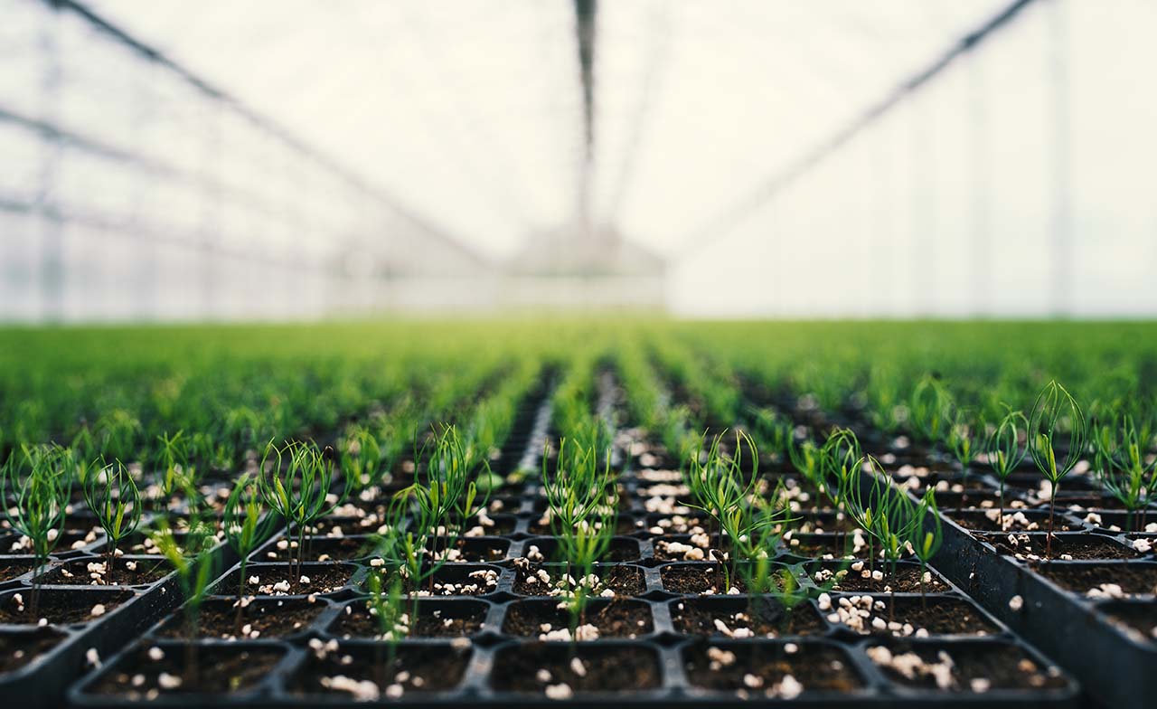
Greenhouse with rows of tree saplings

Helping to keep greenhouses efficient and productive

The global greenhouse horticulture market is growing to meet the world’s increasing food needs. Using space data from satellites, CGI developed the Greenhouse Early Warning Service to help keep the world’s greenhouses efficient and productive. Capturing infrared and radar signals from the Earth’s surface, these images provide insights into the performance of various greenhouse components such as temperature levels. This information is then combined with leading algorithm technology to monitor performance. As a result, there’s less need for physical inspections, saving growers time and money. This means that changes in greenhouse conditions can be detected early, so that resulting damage can be prevented and the effect of uncontrollable events, limited. Learn more

Hurricane, tornado clouds seen from space

Mitigating severe weather risks

Extreme weather events like extratropical cyclones—which can produce conditions similar to hurricanes—are notoriously difficult to predict. To mitigate these weather risks, CGI collaborated with KNMI, the Royal Netherlands Meteorological Institute, to deliver the Windstorm Information Service (WISC) and bridge the gap between those who gather climate data, and the modelers and decision-makers who use it. 

WISC is now embedded in the C3S Climate Data Store (CDS) and will be used to re-process new storms as soon as the baseline re-analysis data set is updated. Detailed, advanced and accurate warning can help governments and other organizations mitigate the devastating impacts that storms can bring to communities and infrastructure.

Person examining plant on rooftop garden

Identifying urban heat islands

Extreme temperatures and urbanization are both set to dramatically increase in cities around the world. The resulting loss of green and blue areas, heat stress and air pollution are all key challenges affecting quality of life and neighborhood-specific living conditions. Increasingly, municipalities are prioritizing these issues and seeking new solutions to monitor and address the impact on their local communities.

Using EO data, we help clients identify urban heat islands, green spaces and living conditions at the neighborhood level. Our Urban Heat Stress service monitors and maps urban heat islands using a satellite data fusion approach. This produces land surface temperature maps at high spatio-temporal resolution, where individual houses can be distinguished. Learn more

Improving energy efficiency

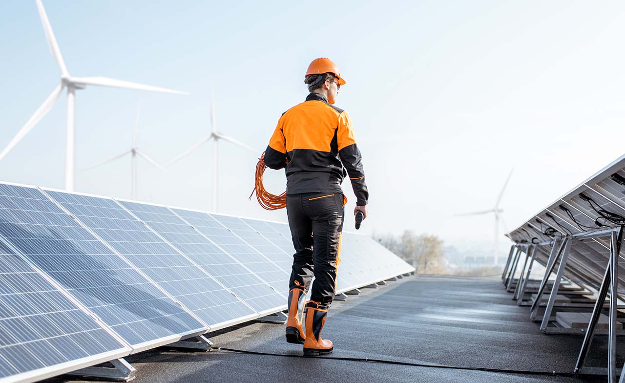
Person walking along solar panels with windmills in the distance

Assessing solar power generation

Solar energy generated by rooftop panels represents a powerful tool in reaching environmental sustainability goals for governments, businesses and individuals. CGI’s knowledge of space, geospatial and utilities domains, combined with remote sensing data and existing topographic and geospatial information, help to enable Estonian energy and utilities service providers to calculate the real potential of solar power generation. Our advanced solar-energy generation calculator can determine the best area on a roof for solar panels, how many solar panels can be placed on that roof, the maximum energy output a homeowner can expect and an estimate for annual electricity production. Learn more

Sustainability Exploration and Environmental Data Science (SEEDS)

CGI’s SEEDS program, in partnership with academia and the UN, uses Earth observation to detect pollution and advance sustainability.