space satellite

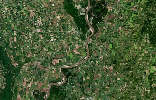
EO data is fundamental to tackling issues related to climate change and the Earth’s natural resources. Data acquired from satellites helps monitor things like coastal erosion, atmospheric chemistry and land usage. 

How do we take huge quantities of raw satellite data and turn them into actionable insight? Satellite data is rarely used in isolation. Typically, it is blended with terrestrial data, which provides further challenges in terms of calibrating and combining to give an accurate picture.

This is where we can help. We have one of the largest industrial groups specializing in data processing and developing data-enabled services. We have developed space-enabled applications and services for health, transportation, the public sector, farming, maritime, oil and gas, utilities, trading, finance and insurance. Such applications increasingly solve business challenges, from saving money, to improving reliability and opening opportunities.

Read our Earth observation factsheet

Experience and expertise

  • Our end-to-end EO ground system solutions work 24/7 developing applications and services to use EO data.
  • EO clients include the European Organisation for the Exploitation of Meteorological Satellites, the European Centre for Medium-Range Weather Forecasts, and the European Space Agency (ESA)—specifically ESRIN, ESA’s EO facility, the U.S. National Oceanic and Atmospheric Administration and other meteorological agencies.
  • We help leading insurers use satellite imagery to assess risks and damage caused by hurricanes, floods and storms. Our CGI Environment360 solution can monitor waterways, help with wildfire mapping and provide an early-warning service for greenhouses. Insurers can use the data for “before and after” comparisons to help verify the authenticity of claims.
  • For the ESA, our eSurge solution helped predict the ferocity of UK coastal flooding.
  • Our EO4SD Lab supports global, sustainable development activities using cloud-based platforms and big data visualization to advance the discovery, access and exploitation of vital EO information.
view of Earth from space