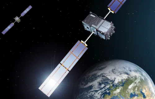
Navigating our cars. Tracking our assets around the globe. Monitoring our exercise activities. Synchronizing time-critical systems. All of these are examples of how we benefit from global navigation satellite systems in everyday life. It is impossible to imagine a world...
At CGI, we deliver secure, mission-critical space systems to commercial and government organizations looking to accelerate their digital transformation.
CGI helps government and commercial clients use Earth observation data to solve complex challenges, such as monitoring our planet's environment and weather.
CGI assures the success of space missions through high-fidelity simulation and modeling—simulators that model satellite subsystems, ground stations, orbits and the environment to support mission operations, preparation, validation and training.
2met is a multi-mission, Earth observation (EO) solution for the real-time acquisition, processing, visualization and distribution of meteorological satellite data.
Providing secure, mission-critical expertise for Europe’s navigation satellite system
Launching anything into space takes a lot of clever people and a lot of hard work. It took just under half a million people working on the Apollo missions to send man to the moon. Less than 10% of these...
CGI’s global space experience dates back to the early 1970s. View our infographic for a detailed timeline of our space achievements.
CGI’s Waterway Monitoring Service digitizes the inspection of waterways, using satellite data to map out large areas of waterways, and then a machine-learning model to assess their status automatically. As a result, physical inspections can be limited to problem areas...


